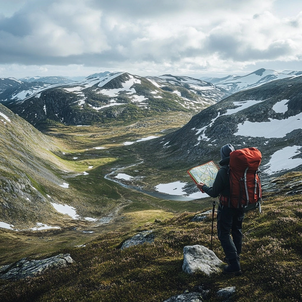
Navigation with map and compass in Jämtland's mountains, your guide to safety in the wilderness
Staying in Jämtland's magnificent mountain world can be one of the most liberating experiences in life. But in order to safely explore these vast and sometimes remote landscapes, good navigational skills are required. In mountain environments, where the weather can change quickly and cell phone coverage is unreliable, a map and compass are still the most reliable way to find your way. Here we teach you the basics of navigation with a map and compass so that you can enjoy the wilderness in a safe way.
The first step in navigation is to understand the structure of the map. Topographic maps are a must in the mountain world because they show elevation curves, watercourses, trails and other important landmarks. The elevation curves help you understand what the terrain looks like - densely packed curves mean steep climbs, while sparse ones in between indicate flatter areas. Learning to interpret these curves is critical when planning a route or when you're out in the mountains and need to make adjustments based on the terrain.
One of the most common traps beginners fall into is relying too much on GPS and cell phones. In Jämtland, especially in the more remote parts of the mountains, mobile phone coverage can be weak or non-existent, and batteries can die in cold temperatures. Therefore, a compass is an invaluable tool. The compass helps you stay on course by pointing out the four main directions – north, south, east and west – and combined with the map, you can determine your position and direction even in bad weather or fog.
When using a map and compass, it is important to first identify a known landmark on the map, such as a lake, mountain, or valley. You can then point the compass at it and follow your course. It's also wise to regularly check your position on the map to ensure you're heading in the right direction, especially when passing multiple landmarks or changing paths.
In the Jämtlandsfjällen, weather conditions can change quickly, and fog can roll in unexpectedly and obscure the horizon. In such cases, it is important to be able to rely on your compass and map, rather than visible landmarks. Remember that while you can navigate by the sun or the stars in clear view, a map and compass are your best friends in stormy weather or poor visibility.
There are some important tips to follow when navigating the mountains. First, always plan your route in advance and mark points along the way where you can check your position. Second, practice reading the map and using the compass before you head out so you feel confident once you're out in the terrain. Finally, always carry extra batteries if you use a GPS and be sure to have a waterproof map and a reliable compass.
Navigating the Jämtlandsfjällen isn't just about getting from point A to point B. It's also an opportunity to deepen your understanding of the landscape and to develop a sense of independence and security in the wilderness. By mastering the map and compass, you can explore the beauty of the mountains with greater freedom, while knowing that you are in full control of your safety.
